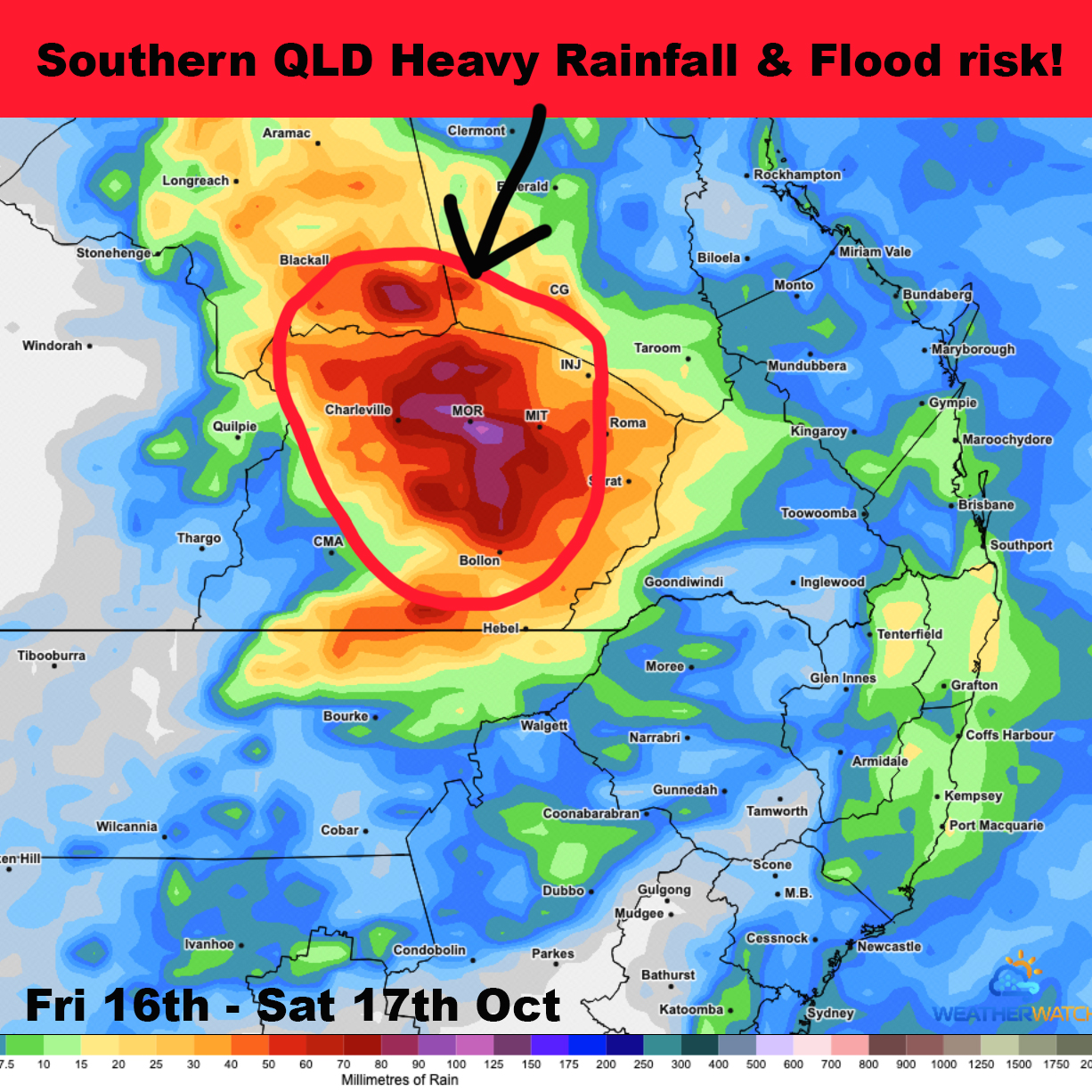
Re-issued for Saturday 17th - Sunday 18th October 2026
Weather Forecast
Updated 7am Saturday: The heaviest falls are currently located through Augathella between Charleville & Tambo.
A strong surface trough has developed across the region on Friday afternoon and remain in the area until at least Sunday.
Thunderstorms are likely with a risk of heavy rain, flash flooding, damaging winds and large hail.
Overnight slow moving thundery rain with locally heavy falls is possible which is also forecast to continue during much of Saturday into Sunday.
Re-development of storms is also possible during Sunday.
During the 2 day period widespread falls of 50-100mm are forecast across the region however falls up to 200mm can't be ruled out if stationary heavy rain develops which there is a high risk of doing so.
The storms are likely to initially cause flash flooding with prolonged areas of rainfall then leading to river and creek rises with minor flooding.
The exact level of flooding will highly depend on rainfall totals in catchments.
We are advising locals, tourists farmers and graziers to be mindful of the pending weather conditions and flood risks. Avoid low lying areas in case of rapid water rises.
Live updates and warnings will be issued as required.