08 Jan Altostratus Clouds
[fusion_builder_container hundred_percent=”no” hundred_percent_height=”no” hundred_percent_height_scroll=”no” hundred_percent_height_center_content=”yes” equal_height_columns=”no” menu_anchor=”” hide_on_mobile=”small-visibility,medium-visibility,large-visibility” status=”published” publish_date=”” class=”” id=”” background_color=”” background_image=”” background_position=”center center” background_repeat=”no-repeat” fade=”no” background_parallax=”none” enable_mobile=”no” parallax_speed=”0.3″ video_mp4=”” video_webm=”” video_ogv=”” video_url=”” video_aspect_ratio=”16:9″ video_loop=”yes” video_mute=”yes” video_preview_image=”” border_color=”” border_style=”solid” margin_top=”” margin_bottom=”” padding_top=”” padding_right=”” padding_bottom=”” padding_left=”” type=”legacy”][fusion_builder_row][fusion_builder_column type=”1_1″ layout=”1_1″ spacing=”” center_content=”no” link=”” target=”_self” min_height=”” hide_on_mobile=”small-visibility,medium-visibility,large-visibility” class=”” id=”” background_color=”” background_image=”” background_image_id=”” background_position=”left top” background_repeat=”no-repeat” hover_type=”none” border_color=”” border_style=”solid” border_position=”all” border_radius=”” box_shadow=”no” dimension_box_shadow=”” box_shadow_blur=”0″ box_shadow_spread=”0″ box_shadow_color=”” box_shadow_style=”” padding_top=”” padding_right=”” padding_bottom=”” padding_left=”” margin_top=”” margin_bottom=”” animation_type=”” animation_direction=”left” animation_speed=”0.3″ animation_offset=”” last=”true” border_sizes_top=”0″ border_sizes_bottom=”0″ border_sizes_left=”0″ border_sizes_right=”0″ first=”true”][fusion_text columns=”” column_min_width=”” column_spacing=”” rule_style=”default” rule_size=”” rule_color=”” content_alignment_medium=”” content_alignment_small=”” content_alignment=”” hide_on_mobile=”small-visibility,medium-visibility,large-visibility” sticky_display=”normal,sticky” class=”” id=”” font_size=”” fusion_font_family_text_font=”” fusion_font_variant_text_font=”” line_height=”” letter_spacing=”” text_color=”” animation_type=”” animation_direction=”left” animation_speed=”0.3″ animation_offset=””]
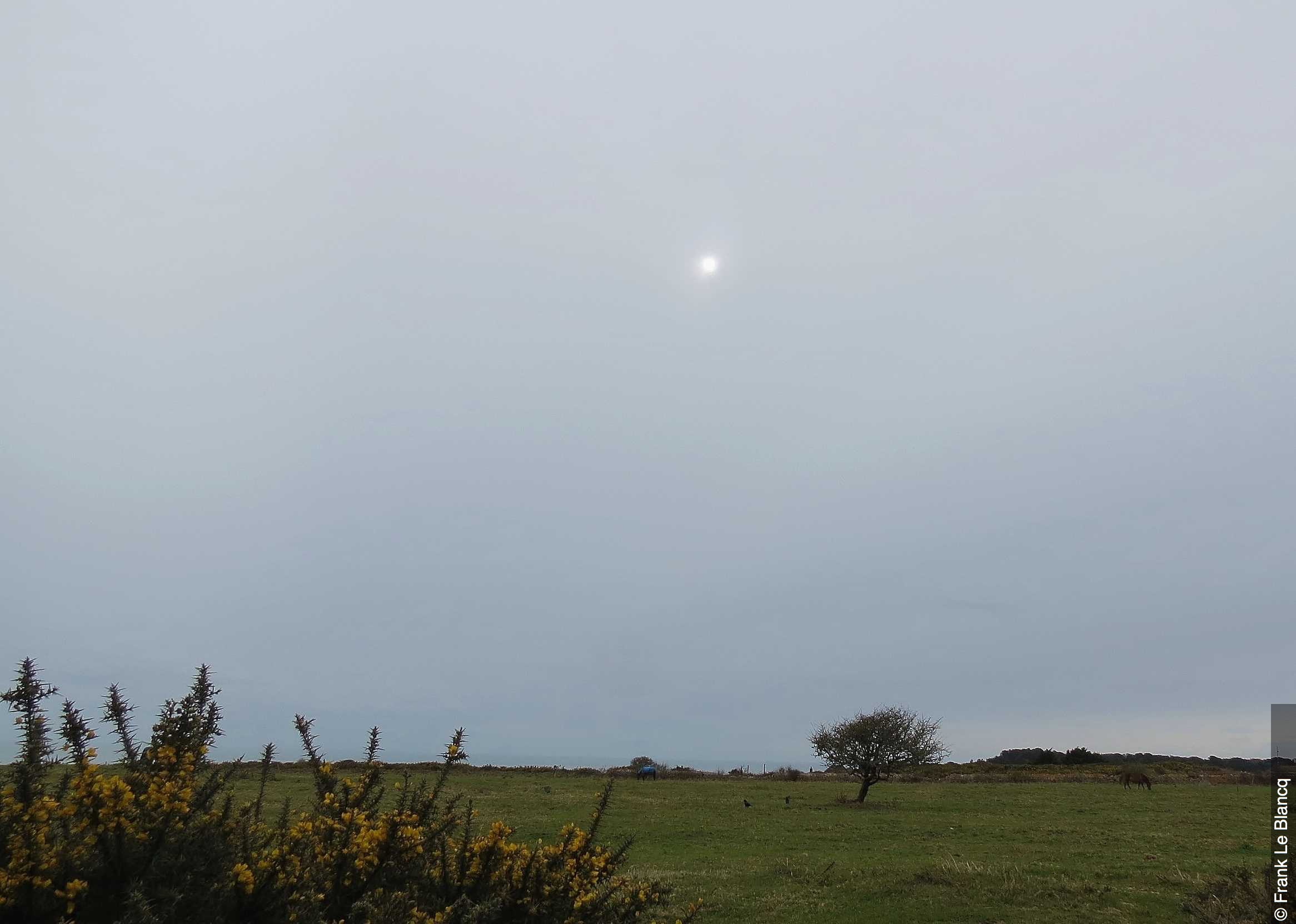
Altostratus clouds are some of the most dull and boring clouds across the sky. This type of cloud is quite layered and featureless, with a grey colouring. The Latin words album and stratus mean spread out or flattened with height.. which is exactly what these clouds are, medium to high flat and dull clouds.
Altostratus clouds are very large, mid level thin sheets and are usually composed of a mixture of water droplets and ice crystals. They typically don’t produce precipitation. They are thin enough that the sun can seep through them, but they often retain a grey colouring with no identifiable structural features about them.
They form when cirrostratus clouds descend from much higher altitudes in the sky, and while theres nothing special about these clouds they can help produce optical phenomenon’s such as iridescence and coronas. Due to their featureless appearance, there are no categories that this cloud fits into, it essentially is its own cloud. There are some different patterns though that may occur and these include undulatus, radiatus and duplicatus.
Altocumulus clouds often form ahead of frontal systems, mostly occluded fronts but sometimes cold fronts. As the front passes through, altostratus layers deepens and bulk out to become nimbostratus clouds which can produce rain or snow. This can typically mean that the visual sighting of these clouds refers to a change in the weather over the next 12-24 hours.
[/fusion_text][/fusion_builder_column][/fusion_builder_row][/fusion_builder_container]
Sorry, the comment form is closed at this time.