07 Jan Nimbostratus Clouds
[fusion_builder_container hundred_percent=”no” hundred_percent_height=”no” hundred_percent_height_scroll=”no” hundred_percent_height_center_content=”yes” equal_height_columns=”no” menu_anchor=”” hide_on_mobile=”small-visibility,medium-visibility,large-visibility” status=”published” publish_date=”” class=”” id=”” background_color=”” background_image=”” background_position=”center center” background_repeat=”no-repeat” fade=”no” background_parallax=”none” enable_mobile=”no” parallax_speed=”0.3″ video_mp4=”” video_webm=”” video_ogv=”” video_url=”” video_aspect_ratio=”16:9″ video_loop=”yes” video_mute=”yes” video_preview_image=”” border_color=”” border_style=”solid” margin_top=”” margin_bottom=”” padding_top=”” padding_right=”” padding_bottom=”” padding_left=”” type=”legacy”][fusion_builder_row][fusion_builder_column type=”1_1″ layout=”1_1″ spacing=”” center_content=”no” link=”” target=”_self” min_height=”” hide_on_mobile=”small-visibility,medium-visibility,large-visibility” class=”” id=”” background_color=”” background_image=”” background_image_id=”” background_position=”left top” background_repeat=”no-repeat” hover_type=”none” border_color=”” border_style=”solid” border_position=”all” border_radius=”” box_shadow=”no” dimension_box_shadow=”” box_shadow_blur=”0″ box_shadow_spread=”0″ box_shadow_color=”” box_shadow_style=”” padding_top=”” padding_right=”” padding_bottom=”” padding_left=”” margin_top=”” margin_bottom=”” animation_type=”” animation_direction=”left” animation_speed=”0.3″ animation_offset=”” last=”true” border_sizes_top=”0″ border_sizes_bottom=”0″ border_sizes_left=”0″ border_sizes_right=”0″ first=”true”][fusion_text columns=”” column_min_width=”” column_spacing=”” rule_style=”default” rule_size=”” rule_color=”” hide_on_mobile=”small-visibility,medium-visibility,large-visibility” class=”” id=””]
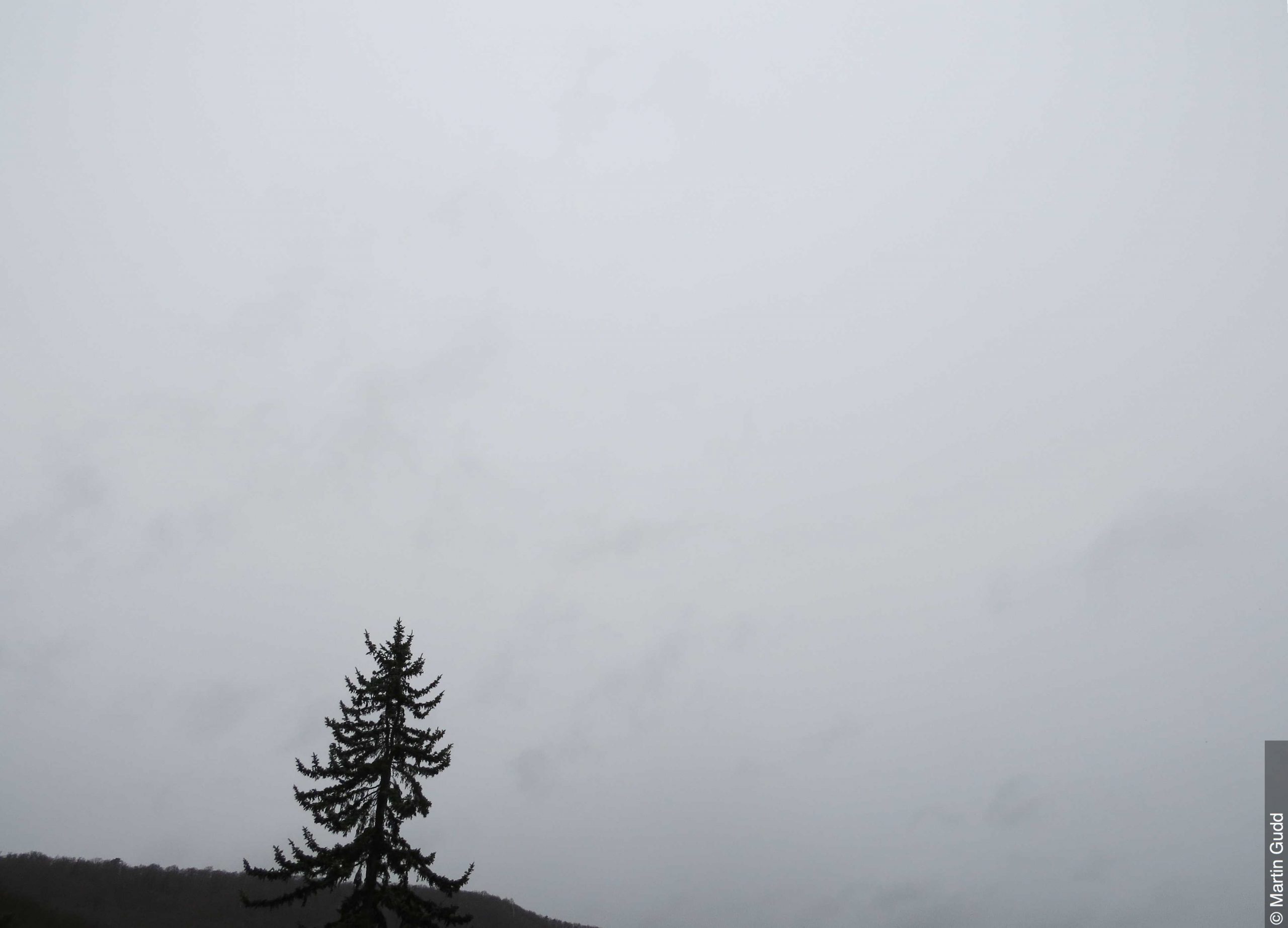
If you thought altostratus clouds were dull and boring, wait for nimbostratus clouds. These are considered the most dull and boring of the cloud types. Nimbostratus clouds are essentially extensive dark or grey, gloomy, featureless layers of thick cloud that block out the sun and produce persistent rain. There is nothing picturesque about them at all, the only thing one could argue is that altostratus clouds are more dull because they don’t produce precipitation whereas nimbostratus at least produces rain.
These clouds typically sit quite low in the atmosphere, around the 2,000-10,000ft mark. The lower they are, the more likely they are to produce heavier rainfall, however rainfall or precipitation (whether its snow, rain or any other form) is likely regardless. These clouds by definition are mid-level clouds as they predominantly sit closer to the 10,000ft however as stated above, they can fall to as low as 2,000ft which is matching it with some of the lowest clouds in the atmosphere.
Nimbostratus clouds form through the deepening and thickening of an altostratus cloud and is often associated with frontal systems, similarly to the altostratus cloud. Nimbostratus clouds will often bring precipitation that can last for several hours – whether its rainfall or snowfall, until the associated passes over. The only precipitation this cloud doesn’t produce is hail. If hail is present then by definition it becomes a cumulonimbus cloud.
Similarly to the altostratus cloud, nimbostratus clouds aren’t categorised into seperate groups like most of the other clouds.
[/fusion_text][/fusion_builder_column][/fusion_builder_row][/fusion_builder_container]


Sorry, the comment form is closed at this time.