08 Jan Altocumulus Clouds
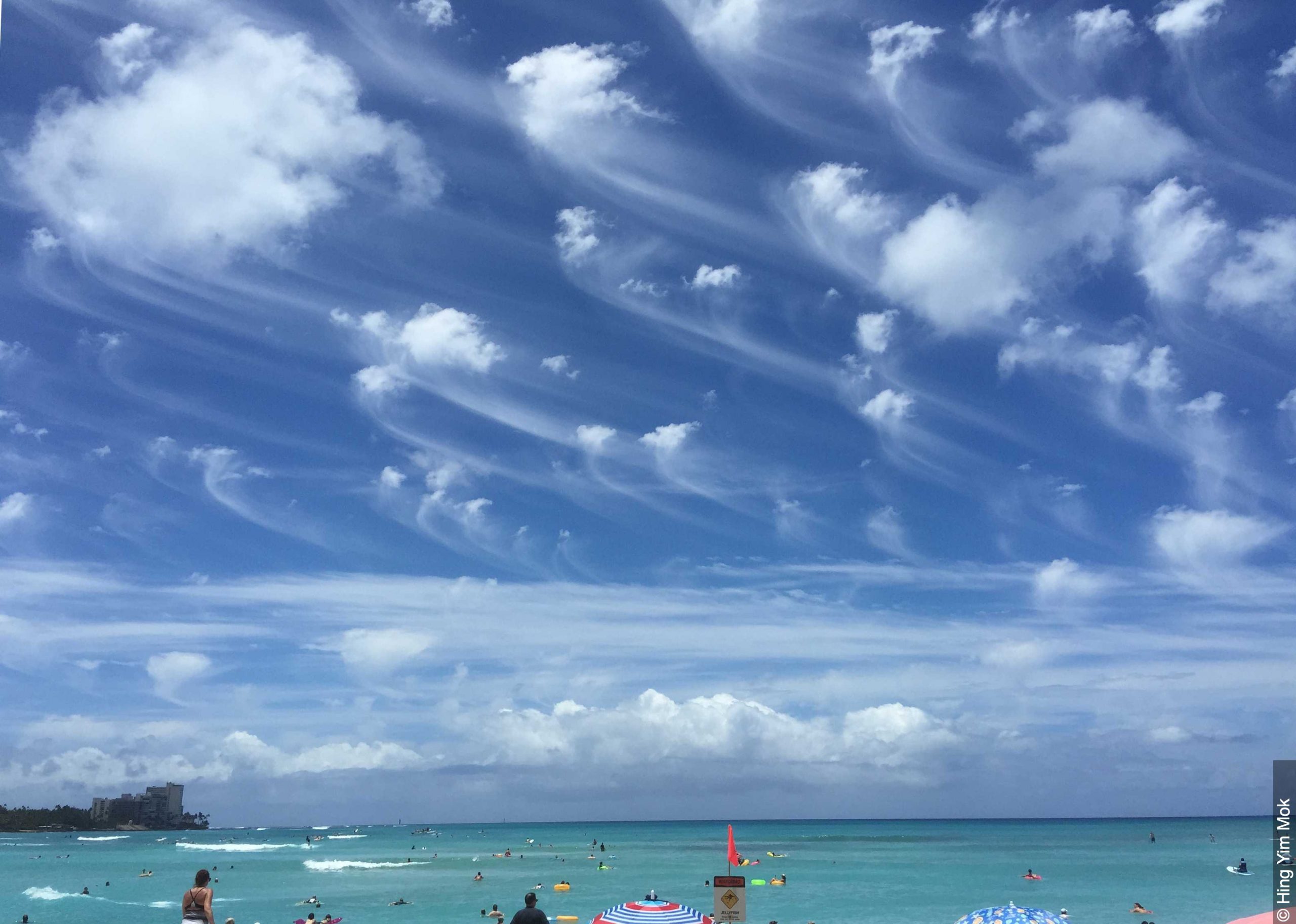
Altocumulus clouds are small clouds situated in the mid levels of the atmosphere, between roughly 7,000 and 18,000ft. These small clouds are called cloudlets, which are mostly shaped like rounded clumps. Altocumulus clouds are made up of a combination of both ice and water which allows them to have a slightly ethereal appearance compared to those of the cumulus variety which are slightly bigger in size and fluffier in appearance.
Altocumulus clouds can form through several different methods. In all of these methods, they produce a key visual difference which allows them to be differentiated from cirrocumulus clouds. That key visual is the presence of shading, as the clouds appear to retain a ‘greyer’ colouring around their base. This is largely due to their elevation, where the cirrocumulus clouds are higher in the atmosphere and the sun is rarely “above” them, but also shining light below them… the altocumulus clouds may be lower than the sun in comparison to the horizon and thus the sun’s light doesn’t project across the entirety of the cloud. They can form through the break up of altostratus clouds. They can also form through the lifting process of moist air pockets which become cooled by mountainous terrain, this process can produce atmospheric waves which can produce the clouds.
While the weather is generally fairly tame when altocumulus clouds are present, they can on the off occasion produce precipitation. This precipitation won’t touch the ground though as its evaporated before it touches the ground, this precipitation is called virga.
Altocumulus clouds are categorised into 4 different types and while their mechanics are similar they all have their own unique characteristics which help determine which is which. These categories are Stratiformis, Lenticularis, Castellanus, Floccus.
-
Altocumulus Stratiformis: These are the most common types of altocumulus cloud. They are flat-bottomed puffy clouds, packed tightly together but separated by small rivers of sky. These can sometimes cover the entire sky.
-
Altocumulus Lenticularis: These are arguably the most spectacular cloud, out of all the cloud types possible. Altocumulus Lenticularis clouds, also known as lenticular clouds, are lens-shaped clouds that form over hilly or mountainous terrain and are often referred to as ‘UFO’ clouds or ‘spaceship’ clouds due to their appearance.
-
Altocumulus Castellanus: These are great indicators of instability in a localised area, as Altocumulus Castellanus towers can often lead to the formation of cumulonimbus clouds or thunderstorms. These are much taller clouds than they are wide, but they retain a puffy appearance.
-
Altocumulus Floccus: These are often spotted alongside altocumulus castellanus clouds, however they are slightly smaller and more ragged cloudlets. These are often found with virga present also.
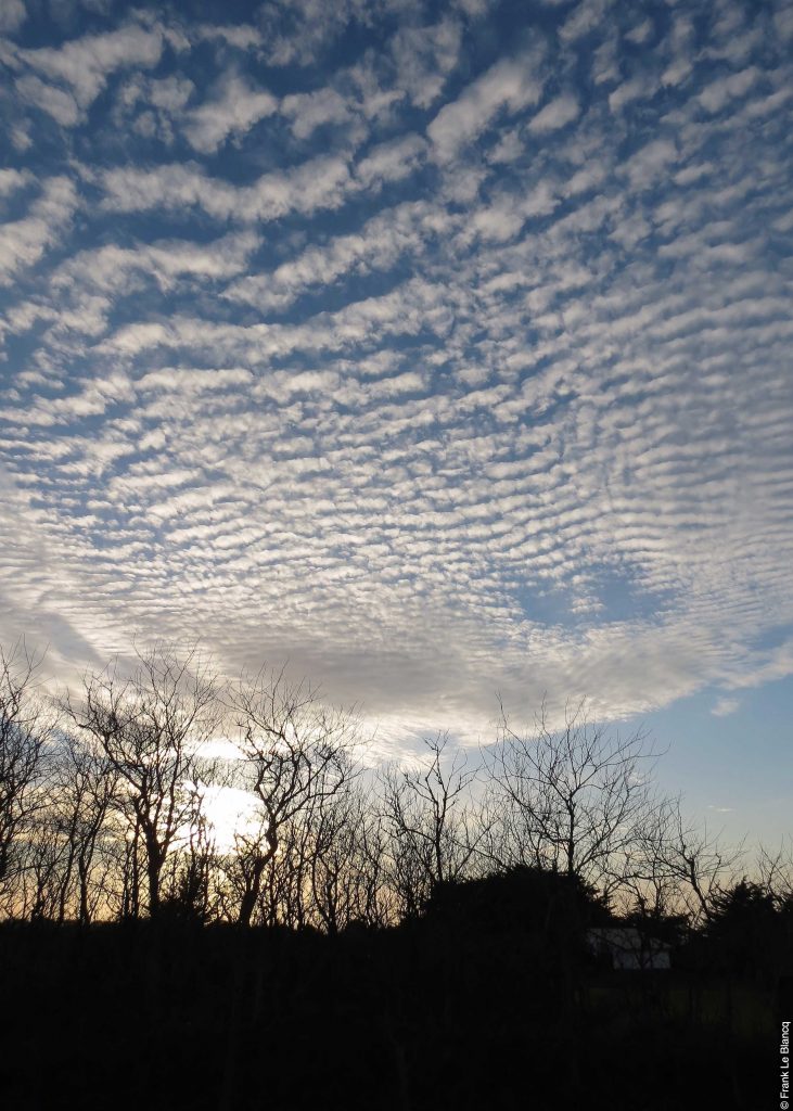
Altocumulus stratiformis via Frank Le Blanq
Sorry, the comment form is closed at this time.