21 Feb Public Forecast 21/02/2025
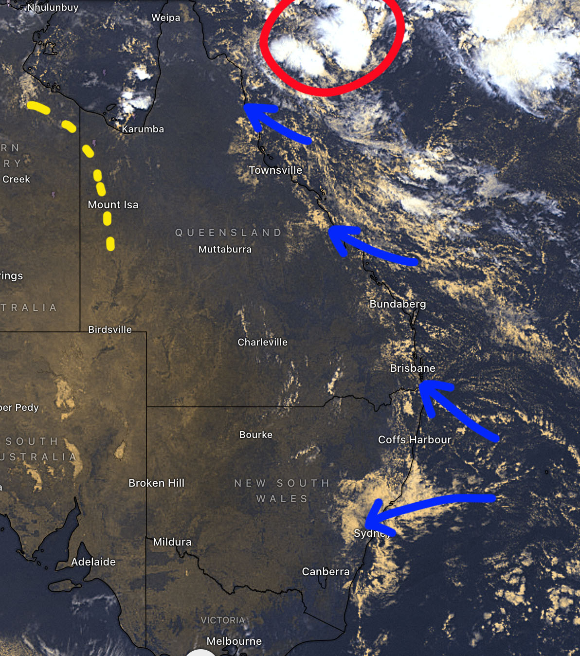
Issued for Friday, Saturday & Sunday: During Friday a weak surface trough in Gulf and North West districts of QLD is likely to cause some afternoon showers and storms. This trough contracts out of the state over the weekend. Mostly fine conditions are expected across remaining inland areas of QLD during the 3 days with moderate East to South Easterly winds. The South Easterly winds will carry enough moisture along the Central and South East Coasts to cause some isolated showers each day. A developing tropical low in the Coral Sea will cause a much deeper onshore flow from about Mackay to Cooktown. The additional moisture will cause scattered showers, isolated storms and some rain areas along these parts of the coast today and over the weekend.
In NSW a high in the Tasman Sea will generate onshore winds with a few showers along the Central and North Coasts on Friday and Saturday before easing on Sunday. Fine conditions are expected across all inland areas of NSW including the ACT with light East to Northerly winds. A front with South Westerly wind change moves into Southern inland and Western NSW on Sunday afternoon but the change will be dry at this stage.
Extra info and our comprehensive maps are available through subscription > https://higginsstormchasing.com/subscribe/
Sorry, the comment form is closed at this time.